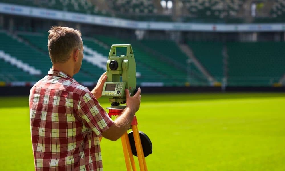
When you think about the new Titans stadium in Nashville, you might picture cranes, steel beams, and cheering fans. But before any of that happened, something important took place — careful measuring and mapping of the land. The project started with an ALTA Land Title Survey, a special kind of survey that checks everything about a property before construction begins.
For this billion-dollar stadium, the survey was the first big step. It made sure everyone — builders, engineers, and city planners — was working from the same trusted map. Without it, the team could have faced delays, mistakes, or even legal problems.
The Survey Before the Stadium
Before crews started building, they had to understand every part of the land near the Cumberland River. The East Bank area has a long industrial past. That means old property lines, easements, and utility lines are mixed together.
The ALTA Land Title Survey helped clear things up. It combined legal records from the title company with exact land measurements from licensed surveyors. Unlike a simple boundary survey, it showed where every easement, road, and right-of-way was located.
This gave the project team a full picture of the land. They could spot problems early, adjust their plans, and build with confidence. A small mistake in a survey could lead to big issues later — like a misplaced wall or blocked access point. This survey helped prevent that.
Accuracy That Keeps the Project on Track
Before concrete was poured, surveyors placed permanent control points across the site. These points acted like GPS anchors for the entire project. Every construction crew used them to stay lined up and on the same grid.
It’s like a band following the same beat. When everyone uses the same rhythm, the song sounds right. The same goes for construction — when everyone follows the same data, the stadium fits together perfectly.
This accuracy also helped avoid future problems. The stadium sits near busy roads, storm drains, and other developments. Because of the ALTA survey, the teams knew exactly where those features were before breaking ground.
Why Builders and Lenders Need ALTA Surveys
Big construction projects don’t just need engineers — they need lenders and insurers too. An ALTA Land Title Survey gives them proof that the property is clear, legal, and ready for work.
Banks don’t lend money unless they know where the property lines are and what’s on the land. The ALTA survey answers those questions. It shows who owns what, where utilities run, and if there are any encroachments or limits that could affect building.
For the Titans stadium, this survey built trust between all sides — the developers, the lenders, and the city. Everyone worked from one official document, which kept the project moving without confusion or disputes.
Using Drones to Improve Accuracy
Surveying has changed a lot in recent years. Drone technology now helps surveyors gather more data in less time. At the stadium site, licensed drone pilots flew over the area to take high-resolution photos and create 3D maps.
These maps helped engineers compare the site’s real shape to the ALTA base map. Drones also made it easy to track progress week by week. Because the stadium is close to downtown, surveyors had to follow FAA Part 107 rules to fly safely.
Using drones alongside ALTA data saved time and reduced human error. It gave builders a clear, bird’s-eye view of the site without slowing down construction.
Managing Flood and Elevation Risks
The stadium’s location near the Cumberland River added another challenge — flood risk. The ALTA Land Title Survey included detailed elevation data that showed how water might move across the land.
This information helped engineers design proper drainage and flood control systems. It also supported FEMA Elevation Certificates, which are often required for insurance.
By knowing the flood zones ahead of time, the team avoided future problems and kept the structure safe. In a city that faces heavy rain, these steps protect not just the building but also everyone who will use it.
How Developers Can Learn from This
The East Bank project shows how modern surveying keeps big developments on track. When title research, drone mapping, and ALTA data come together, everyone benefits — lenders, builders, and the public.
You don’t have to be building a stadium to see the value. Developers across Nashville and Middle Tennessee can use the same approach for offices, shopping centers, or mixed-use sites. Ordering an ALTA Land Title Survey early helps spot problems like overlapping parcels, old easements, or flood concerns before they cause delays.
In a fast-growing city like Nashville, being prepared means staying ahead.
The Hidden Blueprint Beneath It All
When the new stadium opens, fans will see seats, lights, and a huge scoreboard. What they won’t see is the careful planning underneath.
The ALTA Land Title Survey was the hidden blueprint that made it all possible. It guided every stage of the project — from design to final approval — and kept everything in line.
Every major structure starts with a clear map. And in Nashville’s case, that map helped turn a stretch of riverfront land into a landmark built to last for generations.


