Land Survey Basics for Smart Property Buyers
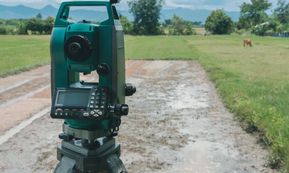
Buying land or a home in Tennessee is exciting, but it also comes with responsibility. Before you sign any papers, it’s important to know exactly what you’re buying. That’s where a land survey comes in. A land survey helps you understand the true size and boundaries of the property. It can save you from future […]
How an ALTA Survey Resolves Utility and Access Disputes

Have you ever run into a property issue involving a shared driveway, buried utility line, or confusing access point? These types of problems are more common than you might think—especially in commercial real estate. One of the most effective ways to solve these issues is with an ALTA survey. This specialized survey gives a full […]
LiDAR Mapping for Elevation-Based Property Planning
If you own land in a rural area, you know how important it is to understand your property’s layout. Slopes, low spots, and uneven terrain can affect everything—from building plans to drainage and road access. That’s where LiDAR mapping comes in. This technology gives landowners detailed elevation data, helping them make better choices about how […]