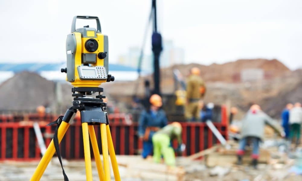
A Flood Elevation Certificate, prepared by a licensed surveyor, is now a key requirement for any new development. It confirms whether a property meets FEMA and local flood standards—helping to avoid costly delays, design changes, and insurance issues. In places like Chattanooga, elevation reporting isn’t just a formality—it’s essential for safe, legal, and efficient construction.
Pre-Development Challenges Without Elevation Verification
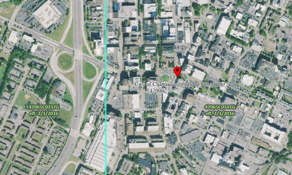
Before construction begins, the land must be checked. If you don’t have certified elevation data:
- You may not know if the lot is in a flood zone
- Permits might be denied or delayed
- Teams may not agree on where or how to build
Starting with verified data helps prevent these early problems.
Certification and Compliance for Safe and Legal Construction
In Chattanooga, floodplain rules apply to many parts of the city. Elevation certificates are required in these areas. They show that your building meets minimum height standards for safety.
This certification also supports:
- FEMA floodplain rules
- Local building code approval
- Environmental site reviews
Without it, your plans may not pass inspection.
Elevation-Driven Planning for Long-Term Functionality
Knowing your elevation helps more than just permits. It affects how your building works over time.
For example:
- Foundations must be built above flood risk
- Site drainage must follow the slope of the land
- Mechanical systems (like HVAC) need to stay dry and accessible
Elevation data allows planners and engineers to make smart, safe choices from the start.
Supporting Chattanooga’s Economic and Urban Growth
As new homes, offices, and mixed-use spaces are built in Chattanooga, many are placed in areas with flood history or tricky terrain. That’s why city officials and buyers are placing more value on certified sites.
Elevation-aware planning helps:
- Open up more land for safe development
- Build trust in city infrastructure
- Encourage investment by reducing risk
Smart elevation planning supports not just single projects—but the city’s future growth.
Preventing Downstream Delays Through Early Elevation Planning
When you delay elevation reporting, problems usually show up later. These might include:
- Having to redesign a building because it sits too low
- Waiting for new permits after site plan changes
- Reordering materials due to code violations
Getting the elevation certificate early avoids these costly setbacks and keeps the schedule on time.
Technical Integration and Documentation Best Practices
Elevation reporting only works if it’s done right and shared with the full project team. That means:
- Working with surveyors, designers, and engineers together
- Keeping a clear record of elevation data in the project file
- Updating the certificate if plans or land conditions change
Proper documentation supports smooth inspections and makes future updates easier.
Accessing Certified Elevation Services in Chattanooga TN
To meet local and FEMA rules, work with professionals who know the area’s terrain. Look for licensed surveyors with experience in:
- Chattanooga’s mapped flood zones
- Base Flood Elevation (BFE) requirements
- Proper submission formats for both city and FEMA approval
This ensures your data is accepted without errors or delays.
FAQs
1. What is an elevation certificate used for?
It shows how high your property is compared to flood levels and helps meet code and insurance requirements.
2. Is this needed if the property isn’t near water?
Yes. Flood zones can exist even in areas that don’t look risky. Elevation data confirms your flood risk.
3. When should I get an elevation certificate?
Before final plans are submitted or construction begins. Early planning avoids changes later.
4. Will this help with insurance?
Yes. It can lower your flood insurance rates by proving your building is above flood risk levels.
5. Do I need to update it if the land changes?
Yes. If you change the grade, foundation, or build a new structure, a new certificate may be required.