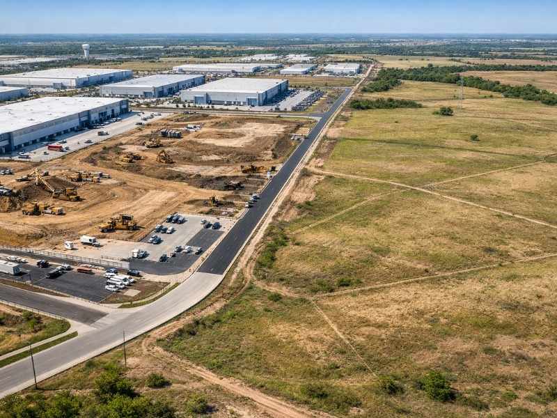
Buying land near a new industrial park can look like a smart move. Prices rise fast. Demand follows. But without an ALTA survey, you could be walking into serious problems you cannot see on a standard map.
Understanding How Industrial Park Growth Impacts Nearby Land Value
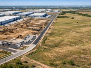
Tennessee has seen major industrial expansion in recent years. Projects like the Ford BlueOval City campus in Stanton and large-scale logistics hubs along the I-40 corridor have driven up land demand in surrounding areas.
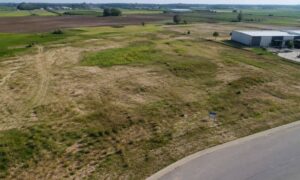
When a large industrial park breaks ground, nearby land values shift fast. Zoning pressure increases. Road access gets rerouted. Utility lines get extended. What looked like a quiet rural parcel can suddenly sit in a high-demand corridor.
Here is what that means for buyers:
- Land prices near active industrial zones can increase significantly within 12 to 24 months of a major project announcement
- Zoning changes often follow industrial expansion, affecting what you can and cannot build
- Buyers who act without verified land data risk paying inflated prices for land with hidden restrictions
You need accurate, current information before you commit. That is exactly what an ALTA survey provides.
What an ALTA Survey Reveals That a Standard Land Survey Does Not
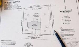
A standard boundary survey shows you where the property lines are. That is it.
An ALTA/NSPS Land Title Survey goes much further. It is the only survey type accepted by most lenders and title companies for commercial and industrial land transactions.
Here is what an ALTA survey uncovers that a basic survey will not:
- Easements recorded and unrecorded, including utility easements, drainage easements, and access easements
- Encroachments where structures or improvements cross property lines
- Rights-of-way that may limit how you use or develop the land
- Access rights confirming legal ingress and egress from public roads
- Utilities showing the location of water, sewer, gas, and electric lines on or near the parcel
- Recorded restrictions such as deed restrictions or covenants tied to prior ownership
Near an industrial park, any one of these items can make or break your development plan. A buried utility corridor running through your parcel could prevent you from building where you planned. A missing access easement could block your permits entirely.
Hidden Land Risks Near Large Industrial Developments
Industrial development creates ripple effects. Roads get widened. Utility corridors shift. Drainage patterns change. These changes often show up near surrounding parcels before they appear in public records.
Common hidden risks include:
Utility corridors: Large industrial facilities require heavy infrastructure. Power lines, natural gas lines, and water mains often run through or near adjacent parcels. These corridors limit where you can build.
Access limitations: New industrial traffic patterns can alter road classifications. A private road you planned to use for access may become restricted or rerouted.
Encroachments: Fences, drainage swales, and grading work from nearby development often cross property lines. An ALTA survey catches these before they become your legal problem.
Drainage paths: Industrial grading changes how water moves across land. A parcel that drained well before a nearby site was graded may now flood or require costly mitigation.
Future right-of-way expansions: Tennessee Department of Transportation projects tied to industrial growth can claim strips of land along road frontages. These planned expansions may not appear in a basic title search.
If you skip the ALTA survey, you may not find these issues until you are already under contract or mid-development.
Why Timing Matters When Buying Land Near Fast-Growing Industrial Zones
Speed matters in these markets. When a major industrial project is announced, land near the site moves quickly. Buyers rush in. Prices climb. Deals close fast.
That urgency creates risk.
Ordering an ALTA survey takes time, typically two to four weeks depending on parcel complexity and surveyor availability. Buyers who skip it to close faster often face larger delays later, including:
- Title companies flagging unresolved easement issues before issuing insurance
- Lenders pausing loan approval due to missing survey data
- Local permit offices rejecting development applications because of boundary or access conflicts
Delaying the survey does not save time. It shifts the problem to a later stage when it is more expensive and harder to fix.
If you are buying land near an active industrial zone, order the ALTA survey at the start of your due diligence period. Do not wait until the last week of your inspection window.
How an ALTA Survey Supports Financing, Title Approval, and Development Plans
Most commercial lenders require an ALTA survey before approving a loan on land intended for industrial or commercial use. Title insurance companies require it before issuing a policy. Without it, your deal can stall or fall apart at closing.
Here is how an ALTA survey moves your transaction forward:
For lenders: The survey confirms the parcel boundaries, identifies easements, and verifies legal access. Lenders use this to assess collateral risk. Without it, many institutional lenders will not fund.
For title companies: Title insurers use the ALTA survey to identify anything that could create a claim against the property after closing. A clean survey leads to a cleaner title commitment.
For engineers and planners: Site design depends on knowing exactly where utilities, easements, and boundaries sit. An ALTA survey gives your engineering team the verified data they need to start design work.
For investors and partners: If you are bringing in equity partners or joint venture capital, they will expect an ALTA survey as part of the due diligence package. It signals that you have done the work correctly.
Skipping the survey does not reduce your risk. It just hides it until someone else finds it.