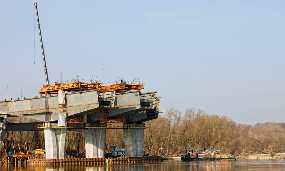
The Tennessee River in Chattanooga is getting bigger. The city has started a river expansion project to help prevent flooding and make the waterfront safer for everyone. With this new construction, there is an urgent need for construction surveys along the river. Surveyors are working fast to map the land, check property lines, and make sure everything is built safely.
If you are a property owner, developer, or engineer, now is the time to pay attention. Accurate construction surveys prevent mistakes, save money, and make sure projects follow city and federal rules. With the Tennessee River acting as a flood zone, these surveys are more important than ever.
Why Construction Surveys Matter for the River Expansion
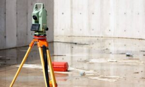
Before any construction starts, surveyors measure and study the land. They look at slopes, flood areas, and property boundaries. Without surveys, construction teams could build in the wrong spot or cause legal problems.
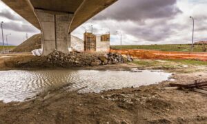
The riverfront is tricky. Soil can change from wet to firm quickly. Water levels rise and fall, and some areas are protected wetlands. Surveys make sure builders know exactly where it is safe to build.
Types of Surveys Needed
Not all surveys are the same. For the riverfront, the most important ones are:
- Topographic surveys: Show the shape of the land, slopes, and low spots that might flood.
- Boundary surveys: Confirm where property lines are to avoid disputes with neighbors or the city.
- ALTA surveys: Often used for big commercial projects. They give banks and investors exact property details.
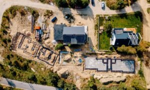
Modern technology like drones helps surveyors map areas that are hard to reach. Drones can take pictures, measure elevations, and provide detailed data quickly.
How Construction Surveys Help Developers and Investors
Construction surveys do more than just measure land. They protect projects from mistakes.
For example, if a developer starts building without checking property lines, construction could end up on someone else’s land. This can cause legal problems, fines, or delays.
Surveys also show engineers where the land might flood. With this information, buildings can be designed with stronger foundations and better drainage.
Investors like surveys too. A well-surveyed property is easier to finance because banks know the land is safe for building. Surveys save time, money, and stress for everyone involved.
Challenges of Surveying the Riverfront
Surveying along the Tennessee River is not easy. Surveyors face several challenges:
- Changing water levels: Surveyors must work carefully when water rises or falls.
- Wetlands and flood zones: Some areas need special permits to work on.
- Unstable soil: Soft or wet ground makes measuring and staking hard.
Local surveyors know rules, weather, and land. This local knowledge helps keep projects on time and following regulations.
The Role of Drones in Modern Surveys
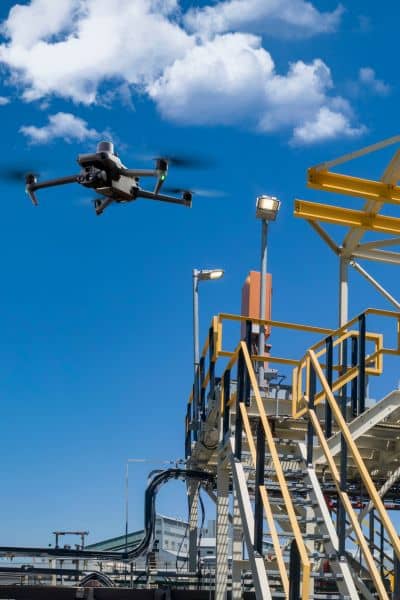
Drones have changed surveying. They can fly over water, take clear pictures, and measure elevations accurately.
For the Tennessee River expansion, drones help surveyors spot problems before construction starts. This saves time and avoids mistakes, keeping projects on track.
Why You Should Schedule a Survey Now
With the river expansion moving fast, property owners and developers need to act quickly. A pre-construction survey can:
- Mark property boundaries clearly
- Identify flood-prone areas
- Provide data to meet city and federal rules
Planning surveys early prevents delays, reduces costs, and keeps construction running smoothly. Waiting too long can slow projects and increase expenses.
Building a Safer Chattanooga Waterfront
The Tennessee River expansion is a big step forward. It will reduce flooding, add public spaces, and make room for new buildings. But this can only happen safely if surveyors map the land first.
Surveyors make sure the land is ready, property lines are correct, and construction meets all rules. Developers, engineers, and investors will benefit from working with local surveyors who know the area.


