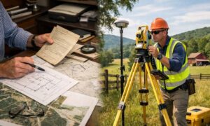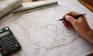
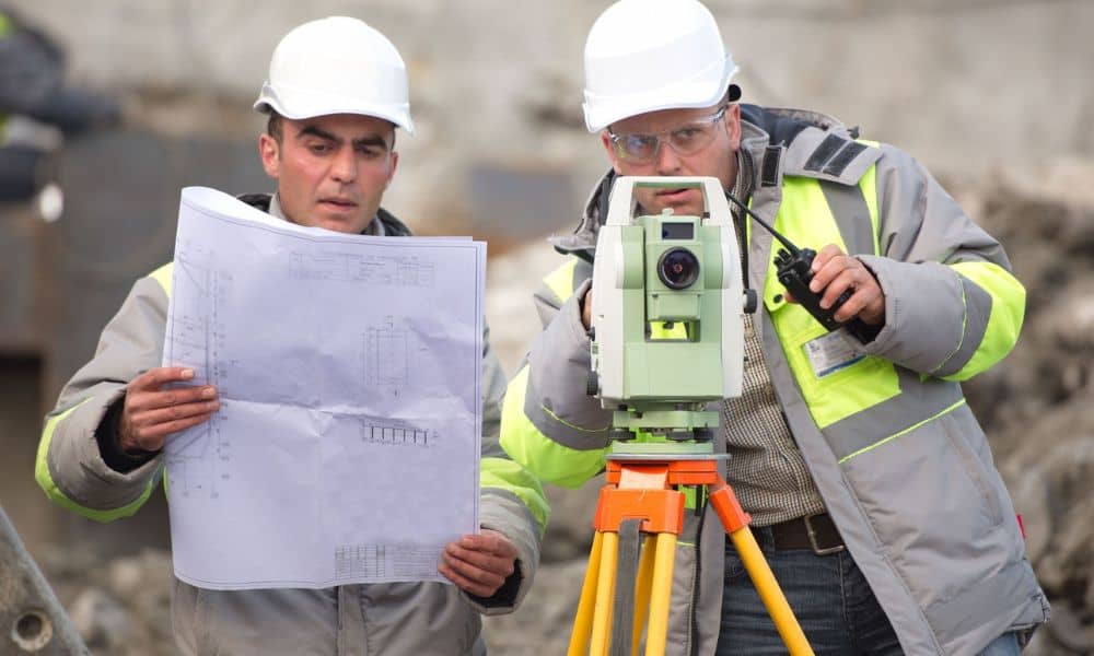
You call for a quote and expect a simple number. Then the price comes back higher than you thought. That throws a lot of property owners in Chattanooga off. Most people assume property survey cost stays the same for every job. It doesn’t. The price can change depending on the details of your property, and once you see what can affect your property survey cost, it starts to make a lot more sense.
It can feel frustrating at first. Still, you have more control than you think. A little prep on your end can save time and cut down on extra work.
Why Property Survey Cost Changes So Much
No two properties look the same on paper. Some have clean records that are easy to follow. Others come with gaps, missing details, or old descriptions that don’t match what’s there today.
When a surveyor starts reviewing your property, they go through those records first. If everything lines up, the job moves faster. If not, they have to spend more time sorting through files and maps. That’s where things start to slow down, and it helps explain why property survey costs can vary, even for properties that look similar at first.
That extra time adds up.
In many cases, the fieldwork stays about the same. It’s the research before it that pushes the cost higher. So when records are hard to find or don’t match, the total price tends to go up.
When a Survey Starts From Scratch
Some properties have very little usable information. That’s where things slow down.
The surveyor may need to:
- search for old plats
- review past deeds
- compare different records
- confirm what is correct
This process takes effort. It also takes time.
If no one has done a recent survey, the surveyor has to rebuild the full picture. That means more office work before the actual site visit even begins.
Because of that, property survey cost goes up, even before the field crew arrives.
The Documents That Can Lower Property Survey Cost
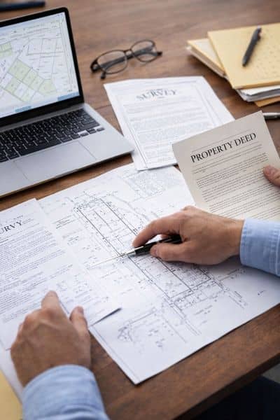
You don’t need to be an expert to help the process. You just need to gather a few key items.
Start with your property deed. This shows the legal description of your land. It gives the surveyor a starting point right away.
Next, look for a previous survey. Even an older one helps. It can show past boundary lines, markers, and notes. That saves time during both research and fieldwork.
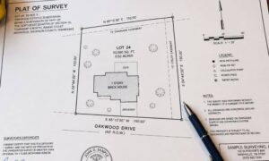
A plat map or subdivision plan also helps. This shows how your lot fits with nearby properties. It makes it easier to understand the layout of the area.
Your parcel ID or tax record is another useful piece. It helps the surveyor pull up official data faster.
If you bought the property recently, your title report can fill in missing details. It often includes references to past records that matter.
Each of these documents reduces guesswork. Less guesswork means less time. Less time often means a more reasonable property survey cost.
Local Tools in Chattanooga That Can Help
Chattanooga gives property owners access to public data online. Many people don’t use it, but it can help more than you think.
You can look up parcel details, lot lines, and general property data through local GIS tools. You can also check flood information tied to your address.
This does not replace a survey. Still, it gives the surveyor a clearer picture before the job begins.
When you share this information early, the surveyor spends less time tracking it down. That can help keep the process smooth.
What Happens When You Don’t Have These Documents
Now picture the opposite situation.
You call for a survey. You have no deed copy. No old survey. No plat. No clear records.
The surveyor has to find everything from scratch.
They may need to visit county offices or search multiple databases. They may need to compare old descriptions that don’t match modern measurements.
This takes time. It also slows down scheduling.
While you wait, the cost grows because of the added work behind the scenes. You may not see that part, but it affects the final number.
How to Prepare Before Asking for a Quote
You don’t need a long checklist. A few simple steps can make a big difference.
Gather any documents you already have. Even partial records help.
Make sure your property address and location details are clear. If your lot sits in a subdivision, note that as well.
If you know anything unusual about the property, share it early. That could include unclear corners or past changes to the land.
When you provide this upfront, the surveyor can give a more accurate quote. You avoid surprises later.
When Higher Property Survey Cost Still Makes Sense
Preparation helps, but it doesn’t fix everything.
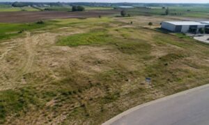
Some properties will always cost more to survey. Larger lots take more time to measure. Sloped or wooded land slows down fieldwork. Older areas with unclear records require more research.
That is normal.
The goal is not to make every survey cheap. The goal is to avoid paying extra for things that could have been handled early.
When the job requires more effort, the cost reflects that. Still, good preparation keeps it fair.
A Better Way to Think About Property Survey Cost
Most people see a survey as just another expense. That mindset leads to frustration when the price feels high.
It helps to look at it differently.
A survey gives you clear property lines. It helps avoid future issues. It protects your investment if you plan to build or sell later.
When you prepare the right documents, you make the process easier for everyone involved. The surveyor works faster. You get answers sooner. The cost stays more predictable.
That small effort at the start can save you time, stress, and money down the line.