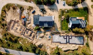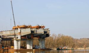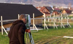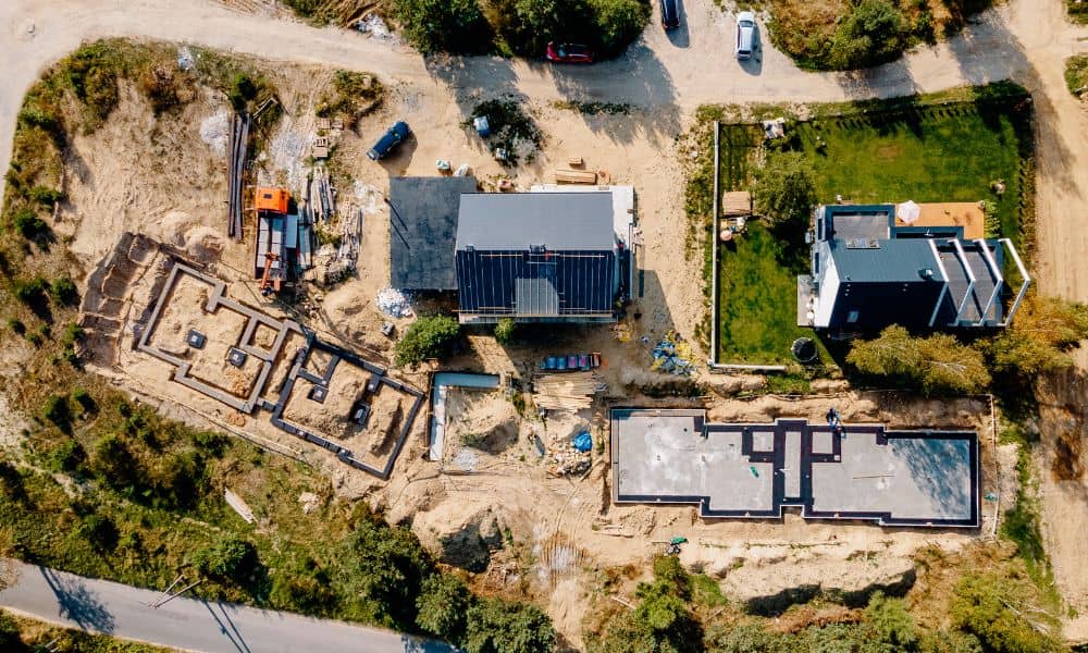
Nashville’s skyline is changing fast — and drone surveying is one of the key tools behind it. As cranes rise and roads shift, survey teams now rely on drones to collect land data faster, safer, and more accurately than ever before.
Recent news about the East Bank redevelopment — including Oracle’s new campus and the upcoming Nobu Hotel — shows how huge this growth has become. The area along the Cumberland River has turned into a nonstop building zone. Traditional ground surveys can’t keep up with the speed or precision that these projects demand. That’s why drone surveying is now in the spotlight.
The East Bank Boom
Just a few years ago, the East Bank was full of old warehouses, parking lots, and empty land. Today, it’s one of the largest redevelopment projects in Tennessee. Oracle’s multi-phase headquarters covers more than 60 acres and adds new greenways, retail space, and thousands of jobs. The new Nobu Hotel and several apartment and office buildings are also underway. The result is a fast-moving construction hub that changes almost daily.
Every phase needs accurate and current data. But there’s a problem — the East Bank sits partly in a floodplain. Elevations shift quickly, soil is unstable, and access near the river can be difficult. With many contractors working at once, traditional survey crews would take days, or even weeks, to do what a drone can scan in just hours.
That’s where drone surveying comes in. It gives engineers, builders, and planners real-time data so they can keep up with the most active project area.
Why Drone Surveying Works So Well on the East Bank
Drone surveying isn’t just a flashy upgrade. It solves real problems that East Bank developers face every day.
1. Faster Turnaround
A drone can scan a large area in minutes and collect thousands of data points. Fresh topographic maps, 3D models, and volume measurements are ready the same day. On a site where roads, bridges, and pipes change weekly, fast data prevents delays and mistakes.
2. Greater Accuracy and Coordination
Modern drones use LiDAR sensors and RTK GPS to measure with centimeter accuracy. The digital models connect directly to design plans and construction layouts. Engineers can compare new drone data with earlier ALTA or due-diligence surveys to catch changes before they cause costly errors.
3. Safer Riverfront Work
Many parts of the East Bank sit right next to the Cumberland River or on uneven ground. Drone surveying keeps crews safe. Surveyors no longer need to climb slopes or stand near heavy equipment. The drone does the dangerous work while they collect precise data from a safe spot.
4. Smarter Floodplain Planning
Flooding is a constant concern here. By combining drone data with FEMA base flood elevation maps, surveyors can model how water might move across a site. This helps developers design better drainage systems and avoid “no-rise” violations that can slow permits.
Blending Drone Data With Traditional Surveys

Drone surveying doesn’t replace licensed surveyors — it supports them. The best firms use drones to enhance ALTA Land Title Surveys, construction staking, and as-built reports.
For example, a drone flight over Oracle’s site can produce detailed elevation maps linked to a ground surveyor’s control points. Together, these maps form a clear record that lenders, architects, and inspectors can trust. The data also prevents costly rework. When everyone uses the latest site models, teams can fix small grade or layout issues before construction moves ahead.
How Drone Surveying Is Changing Construction
Walk near the East Bank today and you’ll see drones in the sky almost daily. They aren’t only capturing maps. Builders also use them for progress photos, material tracking, and milestone reports. These visuals help developers, investors, and city reviewers stay informed without constant site visits.
Contractors say drone surveying can cut field costs by up to 40 percent while keeping projects on schedule. Metro Nashville benefits too. The city’s planning teams use 3D drone models to check that new roads, bike paths, and greenways follow the East Bank Public Realm Plan. This ensures that public spaces stay connected and flood-resilient.
In short, drone surveying is becoming the new language of construction — visual, fast, and reliable.
Local Proof in Motion
- Oracle Campus Expansion: Regular drone mapping keeps multiple contractors aligned across every phase. Updated site models feed straight into engineering revisions.
- Nobu Hotel Development: Drone flights gather grading data for the hotel’s riverfront lot, helping designers adjust before heavy work begins.
- Metro East Bank Public Realm Plan: The city’s design framework calls for ongoing topographic updates as new streets and parks take shape. Most of that work now depends on aerial data.
These examples prove that drone surveying isn’t a niche service anymore. It’s how large projects stay accurate, efficient, and coordinated.
Why Local Builders and Landowners Should Care
You don’t need to manage a billion-dollar project to use drone surveying. Small builders and property owners can benefit too.
If you’re developing a commercial lot near downtown or building a subdivision close to the river, a drone survey can reveal drainage patterns, slope issues, and property lines before design even starts. That knowledge helps you plan better and avoid costly redesigns later.
Drone data also boosts marketing. Clear aerial photos and 3D visuals make it easy to show project progress to clients or investors. Few tools make a stronger impression than a bird’s-eye view.
The message is simple: if your land has complex grading, several contractors, or floodplain risks, aerial data isn’t optional — it’s essential.
The Future of Surveying in Nashville
As Nashville continues to grow, so do its standards for speed and accuracy. Drone surveying gives engineers and developers the tools to meet both. It matches the city’s forward-thinking attitude and focus on smart development.
With more infrastructure and riverfront projects planned, drone surveying will soon be part of every stage — from early due diligence to final construction checks. Across Davidson County, aerial data will guide how Nashville builds for the next decade.
Final Takeaway
The East Bank redevelopment is more than a new skyline. It’s proof that technology is changing how surveying works. Drone surveying has gone from being a bonus to being a must-have.
Developers who use it get faster results, safer worksites, and better confidence in every foot of land they build on.
Nashville’s future is rising quickly — and drone surveying is helping it take off, one flight at a time.
