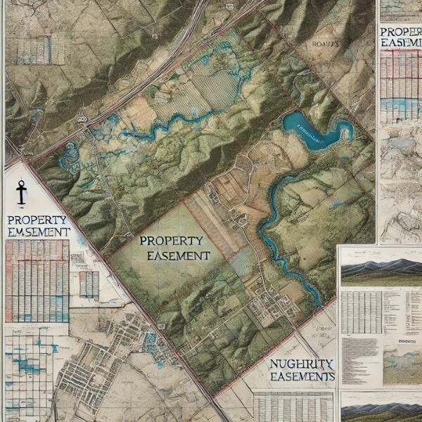
If you’re buying, selling, or making changes to your property, you might want to check if there are any easements attached to it. An easement is a legal right that allows someone else—like a neighbor, utility company, or even the government—to use a portion of your land for a specific purpose. It could be for utility lines, a shared driveway, or even conservation efforts.

The tricky part? Many property owners don’t realize there’s an easement on their land until they run into a problem—like starting a construction project and finding out they can’t build where they planned. This is where a land surveyor comes in. Using tools like LiDAR mapping and detailed property surveys, they can pinpoint easements and help you avoid legal headaches.
So, how do you find out if your property has an easement? Let’s go step by step.
What Exactly Is an Easement?
An easement is a legal agreement that allows someone to use part of your property without owning it. While you still own the land, there may be restrictions on how you can use it.
Here are some common types of easements:
- Utility Easements – Allow access to things like power lines, water pipes, or gas lines.
- Access Easements – Give someone the right to pass through your land, like a shared driveway or a road leading to another property.
- Conservation Easements – Meant to protect natural areas by limiting certain types of development.
- Prescriptive Easements – These happen over time if someone has openly and continuously used a portion of your land (for example, a well-worn shortcut).
Knowing what type of easement is on your property is important—especially if you’re planning a renovation, new construction, or even just putting up a fence.
How to Find Out If Your Property Has Easements
If you’re not sure whether there’s an easement on your land, here are a few ways to check:
1. Check Your Property Deed
Easements are often recorded in your property deed. If you have a copy, look for any mention of easement agreements. If you don’t have your deed on hand, you can request a copy from your county records office.
2. Review the Title Report
When you bought your home, the title company likely provided a title report. This document outlines any legal claims on the property—including easements. If you’re unsure where your title report is, your lender or title company may have a copy.
3. Visit the County Recorder’s Office
Many easements are filed with the county recorder’s office or tax assessor’s office. A quick visit (or an online search) can help you find public records related to your property.
4. Hire a Land Surveyor
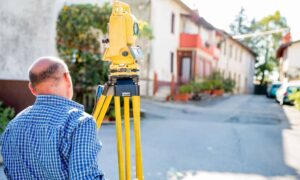
If you want the most accurate information, a land surveyor is your best bet. Surveyors conduct detailed property assessments, mapping out boundaries, easements, and any restrictions you should know about.
Many surveyors now use LiDAR mapping, a high-tech scanning method that provides ultra-precise data. This is especially helpful if you own a large property or if the terrain is tricky to navigate.
Why Hiring a Land Surveyor Is a Smart Move

A land surveyor can save you from unexpected headaches. Here’s why it’s worth hiring one:
✅ Know Your Property Boundaries – Avoid disputes with neighbors and legal trouble.
✅ Identify Hidden Easements – Some easements aren’t obvious until they’re officially surveyed.
✅ Stay Legally Protected – Make sure you’re following zoning laws and local regulations.
✅ Use of Advanced Technology – Tools like LiDAR and GPS mapping create incredibly accurate surveys.
If you’re planning construction, fencing, or landscaping, a survey can help prevent costly mistakes before you start digging.
What If an Easement Affects Your Plans?
Found an easement on your property? Don’t panic! Here’s what you can do:
📌 Understand the Rules – Read the easement agreement carefully to see what’s allowed.
📌 Negotiate Changes – In some cases, you might be able to modify or remove an easement (with the other party’s permission).
📌 Talk to a Real Estate Attorney – If the easement is causing major issues, legal advice can help.
📌 Work with a Land Surveyor – They can help you plan around easements so you stay compliant.
Easements can impact how you use your land, so it’s best to find out early rather than be caught off guard later. Checking your deed, reviewing property records, and hiring a surveyor are the best ways to get clear answers.
With tools like LiDAR mapping, modern land surveys provide highly accurate property data—helping you avoid surprises and stay within legal boundaries.
If you need a land surveyor in Nashville, TN to check for easements on your property, contact a local professional today for an accurate and reliable survey! It’s a small step that can save you from big headaches later!


