Nashville’s skyline is transforming fast—and behind the scenes, construction companies are quietly adopting powerful tools to keep up. One of the most impactful is drone-based LiDAR, a surveying solution that’s changing the game for builders across Middle Tennessee.
Once reserved for large engineering firms, this advanced mapping solution is now accessible to construction teams of all sizes. With LiDAR mapping services in Nashville TN, crews are working smarter—not harder—by reducing errors, speeding up surveys, and building with greater accuracy.
Let’s dive into how this powerful technology is reshaping construction across Music City.
A New Era for Construction Surveying
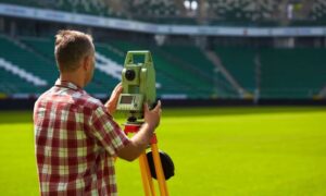
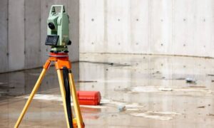
Traditional land surveying methods have served us for decades, but they often take time and require crews to be physically on-site, sometimes in risky conditions. Drone LiDAR offers a smarter way—capturing millions of precise measurements in minutes, all from the air.
It’s fast. It’s accurate. And it’s tailor-made for today’s fast-moving building environment.
What Makes Drone LiDAR Unique for Builders
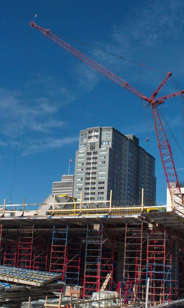
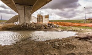
Construction sites are complex. Elevations, slopes, trees, power lines, and even underground utilities can affect how a building gets placed and constructed.
LiDAR (Light Detection and Ranging) excels in mapping uneven surfaces and hard-to-reach areas. When mounted on drones, it can fly over construction zones and generate highly detailed 3D models—without disrupting work or risking safety.
1. LiDAR Mapping: Changing How Sites Are Planned
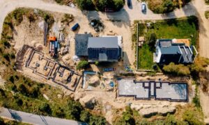
One of the most important stages in construction is the planning phase. With LiDAR, developers get topographic maps that are far more detailed than satellite imagery or basic GPS tools.
This kind of data helps architects visualize a site’s unique challenges and make smarter choices—before the first shovel hits the dirt.
2. Speeding Up Pre-Construction Phases
Before a project begins, there’s a lot of groundwork (literally). Site evaluation, earthwork, grading, and risk assessments all need accurate land data.
LiDAR accelerates these steps by quickly gathering everything engineers need to understand the terrain. This cuts down planning time from weeks to days.
3. Enhancing Safety on Construction Sites
Drone LiDAR also plays a role in keeping workers safe. It can detect unstable ground, steep slopes, and potential hazards long before teams arrive on site.
By reducing the need for manual inspections in dangerous areas, it helps prevent injuries while still providing critical site data.
4. Utility and Infrastructure Planning with Confidence
Laying out utilities is no small task. Drones equipped with LiDAR sensors can locate surface markers and estimate where underground systems are likely to be.
Whether you’re planning a sewer line, an access road, or electrical grids, having precise land data leads to fewer design changes down the road.
5. Reducing Rework and Construction Errors
Mistakes in measurement lead to expensive rework. Drone LiDAR helps eliminate this problem by offering pinpoint accuracy from the very beginning.
Contractors using this tech report fewer layout errors, better material estimation, and more confidence in their builds.
6. Streamlining Permits and Regulatory Compliance
Permits require documentation. A lot of it.
Thanks to high-resolution maps and elevation models generated through LiDAR Mapping, builders can meet regulatory standards faster. Inspectors appreciate having digital documentation to review in real-time, making the approval process smoother and quicker.
7. Cost Efficiency Across Project Lifecycles
Time is money—and drone LiDAR saves both.
Though the upfront cost may be higher than traditional methods, the savings in rework, labor hours, and project delays more than make up for it. In fact, many firms see a positive return on investment within the first few projects.
Drone LiDAR vs. Traditional Surveying: A Clear Winner?
While traditional surveys still have their place, especially for smaller projects, LiDAR offers significant advantages in large or complex construction sites. It’s ideal for projects where time, terrain, and accuracy are critical.
The side-by-side comparison often shows drone LiDAR as the more efficient and future-ready option.
Real Case Applications in Nashville Construction
Across Nashville, builders are already using drone-based mapping for commercial developments, residential neighborhoods, and public works. From Green Hills to Germantown, this technology is helping projects move forward faster—with fewer surprises along the way.
Choosing a LiDAR Mapping Partner in Nashville TN
If you’re a contractor or developer, it’s vital to choose a LiDAR mapping provider that knows the local terrain and building codes.
Look for companies with construction-specific experience, FAA-certified drone pilots, and a track record of working on similar projects.
The Future of Drone Mapping in the Construction Sector
As Nashville continues to grow, expect drone LiDAR to become standard practice. Advancements in AI, software integration, and real-time analytics are just around the corner—paving the way for even smarter builds and faster project timelines.
FAQs
1. Is drone LiDAR legal for construction use in Nashville?
Yes, as long as providers follow FAA regulations and use licensed surveyors when needed.
2. How accurate is LiDAR compared to traditional surveying?
LiDAR can reach sub-inch accuracy depending on the equipment and conditions—often outperforming manual surveys.
3. Can LiDAR detect underground utilities?
Not directly, but it can help locate above-ground markers and support utility planning.
4. Does weather affect LiDAR surveys?
Heavy rain or fog can reduce accuracy, but many drones are equipped to handle light wind and moderate conditions.
5. How long does a typical LiDAR survey take?
For mid-sized construction sites, surveys can be completed in one day, with data ready in a few days.
6. What kind of projects benefit most from LiDAR?
Large-scale builds, sloped terrain, flood-prone areas, and sites needing detailed grading analysis.
