Outdated Flood Maps? Get an Elevation Certificate

If you’re house-hunting, you’ve probably looked at flood maps to see if your dream home is in the clear. But here’s the truth: those maps don’t always tell the full story. Recent news across Tennessee showed just how often they can be wrong. After heavy rains hit several cities this October, streets that were marked […]
Bridge Work Highlights the Power of Stormwater Design
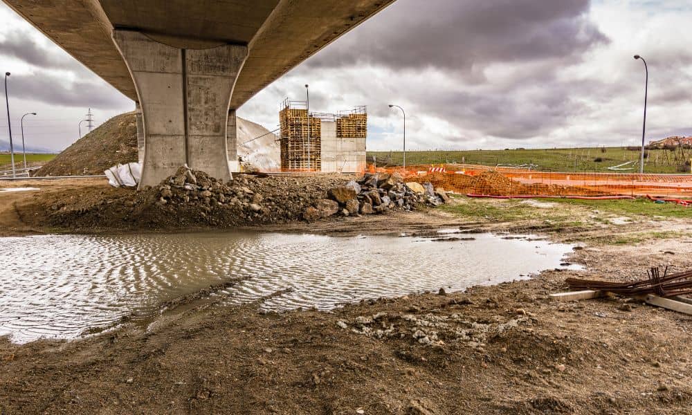
When heavy rain hit East Tennessee last weekend, social media filled with videos of flooded roads and sinkholes opening up in driveways. While most people scrolled past, engineers saw something different — how stormwater design affects whether a city can handle sudden downpours. This week, Knoxville drivers faced new lane closures and detours near the […]
How Drone Surveying Powers Urban Redevelopment
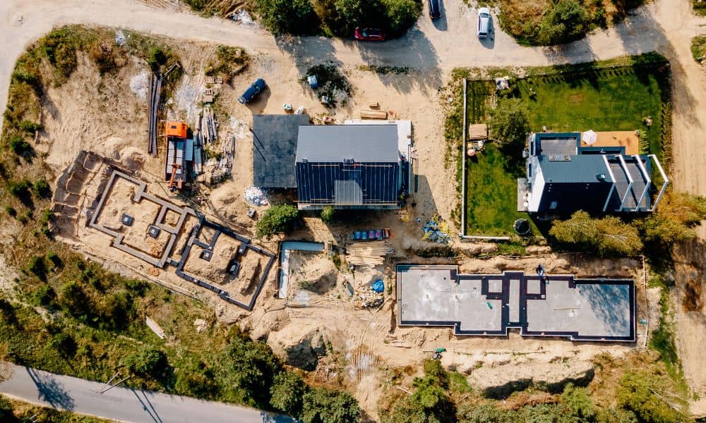
Nashville’s skyline is changing fast — and drone surveying is one of the key tools behind it. As cranes rise and roads shift, survey teams now rely on drones to collect land data faster, safer, and more accurately than ever before. Recent news about the East Bank redevelopment — including Oracle’s new campus and the […]