Buying land or a home in Tennessee is exciting, but it also comes with responsibility. Before you sign any papers, it’s important to know exactly what you’re buying. That’s where a land survey comes in.
A land survey helps you understand the true size and boundaries of the property. It can save you from future problems and even legal issues. In this article, we’ll explain what land surveying is, why you need it, and how it works in Tennessee.
Why Do You Need a Land Survey in Tennessee?
You might think you don’t need a land survey, especially if the land already has a fence or buildings. But here’s why it’s still important:
- Avoid Disputes: Sometimes fences or buildings are built on the wrong land. A survey shows exactly where your land begins and ends.
- Know About Easements: Easements give other people (like utility companies) the right to use part of your land. A survey shows where these easements are.
- Protect Your Investment: You want to make sure the land matches what’s written in the legal documents.
- Required by Lenders: If you’re getting a loan, the bank might require a survey before giving you money.
Common Types of Land Surveys
There are different kinds of land surveys, depending on what you need. Here are a few you might hear about in Tennessee:
- Boundary Survey: Shows the exact property lines.
- Mortgage Survey: Often required by banks when buying a home.
- Topographic Survey: Shows hills, trees, and other natural features of the land.
Your surveyor can help you choose the right one.
Land Survey Rules in Tennessee
In Tennessee, only licensed land surveyors are allowed to do official surveys. These professionals follow rules set by the Tennessee Board of Examiners for Land Surveyors.
Also, some counties have special rules about land use. For example, they may have setback laws, which tell you how far buildings must be from the road or the neighbor’s land. A survey helps make sure you’re following those rules.
What Happens During a Land Survey?
Here’s what you can expect when you order a land survey:
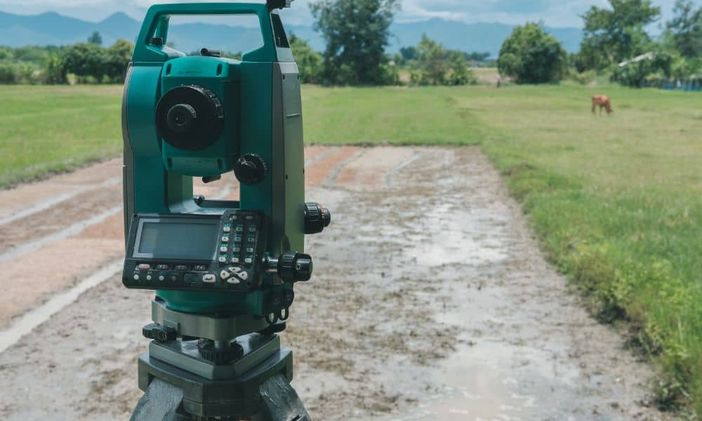
- The surveyor visits the land with measuring tools and GPS.
- They may place flags or wooden stakes to mark the boundaries.
- After they finish, you get a map or drawing that shows your land, lines, and any features or problems.
This process usually takes a few days, depending on the size and shape of the land.
How Much Does a Land Survey Cost in Tennessee?
The cost of a land survey in Tennessee can range from $400 to $1,200, depending on:
- The size of the land
- The type of survey
- How difficult the land is to measure (for example, hilly or wooded land)
- How fast you need it done
It’s a good idea to get a quote from the surveyor before starting.
How to Pick the Right Land Surveyor
Choosing the right surveyor is just as important as getting the survey itself. Here are some tips:
- Make sure they are licensed in Tennessee
- Ask how much experience they have with properties like yours
- Read online reviews or ask for references
- Make sure they explain things clearly and answer your questions
Common Mistakes to Avoid
Many people make mistakes when it comes to land surveys. Here are a few to watch out for:
- Skipping the survey: It might seem like a way to save money, but it can lead to expensive problems later.
- Using an old survey: Land can change, and old surveys may not show current information.
- Not reading the report carefully: Always review the results and ask your agent or attorney if something doesn’t make sense.
Final Thoughts
A land survey might not seem exciting, but it’s one of the smartest things you can do before buying property in Tennessee. It helps you avoid problems, protects your investment, and ensures you understand exactly what you’re purchasing.
Taking the time to get a proper survey gives you peace of mind and helps make the buying process smoother and more secure.


