LiDAR Mapping in the AI Era: Faster, Smarter Site Data
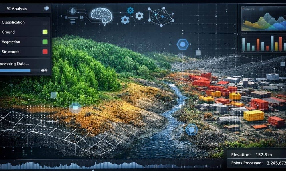
Most people think lidar mapping simply means scanning land with lasers and turning it into a 3D model. For many years, that description worked. However, the biggest change today is not in how data gets captured — it’s in how data gets understood. Lidar mapping has started moving into the AI era. That shift changes […]