How Drone Surveying Powers Urban Redevelopment
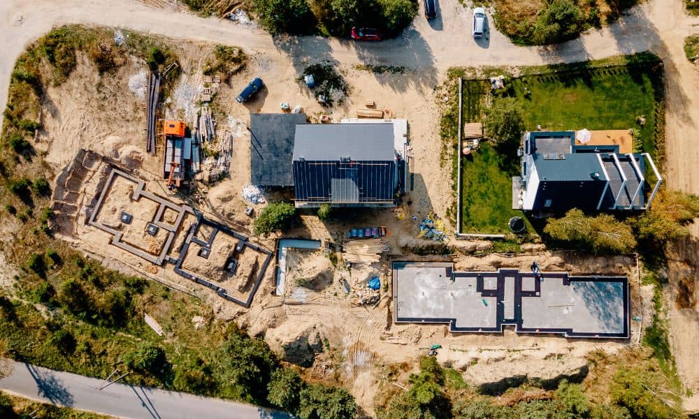
Nashville’s skyline is changing fast — and drone surveying is one of the key tools behind it. As cranes rise and roads shift, survey teams now rely on drones to collect land data faster, safer, and more accurately than ever before. Recent news about the East Bank redevelopment — including Oracle’s new campus and the […]
Geotechnical Engineering for River Low Water Challenges

When the Mississippi River drops, Memphis feels it right away. Barges can’t carry their usual loads, tow sizes shrink, and the steady flow of cement, steel, and gravel slows down. These are the lifelines of construction in the city. Without them, projects risk delays and budget overruns. This is where geotechnical engineering becomes essential. It’s […]
Why an Elevation Certificate Matters Before the Next Storm

When flood warnings go out across Knoxville, many homeowners start asking one important question: Is my house really safe from rising water? The clearest answer often comes from an elevation certificate. This document, prepared by a licensed surveyor, shows how your property sits compared to known flood levels. With it, you can prove your risk […]