Knoxville’s South Waterfront is changing fast. New apartments, restaurants, and greenways are transforming the area into one of the city’s most exciting places to live. People love the river views and the walkable feel, and many are already looking for homes or investment properties there. But while everyone talks about the views, very few talk about something just as important: the elevation survey.
An elevation survey might not sound exciting, yet it can save you from major problems. Riverfront development brings real risks, especially with flooding, drainage, and steep slopes. And as Knoxville continues its building boom, this survey is becoming one of the most valuable tools for buyers, owners, and builders.
The South Waterfront Boom Comes With Hidden Challenges
In the last few days, Knoxville held a community meeting to share updates on South Waterfront projects. Residents talked about new development ideas, better parks, and future transportation needs. It’s clear the area is growing fast.
But while the public hears about new housing and greenways, the city is also tackling stormwater issues. Knoxville’s Stormwater Engineering Division is surveying culverts, pipes, and drainage systems across South Knoxville. They need to understand how water moves through this busy area, especially as more buildings go up.
At the same time, a new 300-unit project was approved with strict stormwater rules. Developers must prove they can manage runoff and keep buildings safe from rising water. That work depends on careful elevation data.
All these updates point to one thing: elevation matters more than ever along the river.
Why Elevation Plays a Huge Role in Riverfront
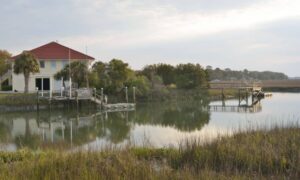
South Knoxville sits close to the Tennessee River, and that creates unique challenges. When storms hit, the river can rise fast, and water behaves differently in low-lying areas. Even a small slope can change how water drains, how foundations settle, and how safe a home stays during heavy rain.
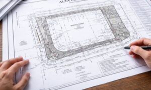
This is where an elevation survey becomes essential. It shows the exact height of the land, the slope of the property, and how water is likely to move around it. Without this information, owners can face major surprises.
Elevation matters because flood risk can change from one property to the next. Two homes on the same street can have very different levels of safety, depending on how high or low they sit. Insurance companies also pay close attention to elevation. A home above the Base Flood Elevation may need less coverage, while a lower one could face higher premiums.
Building rules also keep getting stricter. With new developments planned, the city wants to prevent flooding, erosion, and unsafe construction. That means elevation surveys are now required before certain permits are approved. If the land is too low or the slope is too steep, builders must adjust their plans, and sometimes that adds cost.
South Knoxville’s steep hills also make drainage tricky. Water doesn’t spread evenly; it races toward the lowest point. If your yard, driveway, or foundation sits in that path, you could see pooling water or erosion. An elevation survey shows how the land slopes so you know what to expect.
What Surveyors Notice That Buyers Often Miss
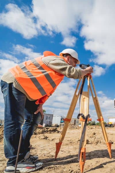
Developers love sharing bright renderings and riverfront images when promoting new projects. But surveyors look at what’s underneath all of that. They focus on water movement, slope changes, and hidden structures.
Sometimes a property looks flat until rain comes. That’s when small dips in the land begin to fill with water. A yard that looks dry most of the year might turn into a mini pond after storms.
Other times, a storm drain or underground pipe sits close to a future building spot. If a project blocks drainage paths, water can back up into a yard or foundation. Because the city is now surveying stormwater systems across South Knoxville, it’s easier to spot these issues early.
Elevation makes all of this clearer. It tells you how the land behaves in real weather, not just how it looks on a sunny day.
Real Knoxville Stories Where Elevation Made a Difference
A condo buyer recently found what looked like the perfect home on the South Waterfront. But the elevation survey showed the finished floor was barely above the Base Flood Elevation. They loved the space, but the high insurance cost changed their plans. Without the survey, they wouldn’t have known until after signing.
Another buyer purchased a lot in South Knoxville for a duplex. Once the elevation survey came in, they learned the slope was steeper than expected. Their builder explained the project needed retaining walls and extra grading. Those changes almost doubled their original budget.
A homeowner planning a garage also ran into elevation issues. Because their lot sat near a drainage easement, the city needed proof the new structure wouldn’t block stormwater. The approval required an elevation survey before the project could move forward.
In each case, the elevation survey helped owners make smart choices before spending money.
What Buyers and Owners Should Pay Attention To
If you plan to buy or build, start by noticing how your land sits compared to the street and nearby homes. Look at how water flows after heavy rain. Does it move away from the property or toward it? If you see pooling water or soft soil, that’s a sign the land may slope the wrong way.
Also pay attention to any stormwater easements or drainage paths nearby. Knoxville has been updating and mapping different parts of the system, which means you may have a storm pipe or ditch near your lot. These affect where you can build and how safe your property will be during storms.
If you’re unsure whether you need a flood elevation certificate, an elevation survey will give you the right answer. Many homeowners assume FEMA maps tell the full story, but local elevation often tells a very different one.
When It Makes Sense to Order an Elevation Survey
You should consider an elevation survey if you’re buying a riverfront home, planning a new build on a sloped lot, or adding a major structure like a garage or in-law suite. You should also get one if you want to understand your flood risk before storm season or verify insurance requirements.
The process is simple. A surveyor visits the site, measures the land, and provides a report that explains the elevation and slope. This helps you plan, budget, and avoid surprises.
Final Thoughts:
Knoxville’s South Waterfront is full of promise. The river, the new greenways, and the growing list of developments make the area more appealing every year. But growth also brings new challenges, especially with stormwater and steep slopes.
An elevation survey helps you understand your land, protect your investment, and make better building decisions. It gives you real numbers instead of guesses. As South Waterfront continues its boom, this simple step can help you avoid costly problems later.
The excitement around the riverfront will keep growing, but knowing your elevation keeps you prepared for anything that comes with it.

