If you’re house-hunting, you’ve probably looked at flood maps to see if your dream home is in the clear. But here’s the truth: those maps don’t always tell the full story. Recent news across Tennessee showed just how often they can be wrong. After heavy rains hit several cities this October, streets that were marked “safe” on FEMA maps ended up underwater. That’s why getting an elevation certificate before you buy isn’t just smart—it’s essential. It’s the only way to know how your property truly sits compared to the base flood elevation, which can make the difference between a dry foundation and a flooded living room.
Outdated Maps, New Floods
In late October, Tennessee officials once again urged FEMA to update its flood maps. Many of the current ones haven’t been revised in years. During that time, Chattanooga has grown rapidly—new subdivisions, parking lots, and road projects have changed how water flows through the city.
The problem? FEMA’s flood maps are based on older data and can’t keep up with all that development. In some neighborhoods, drainage patterns have shifted so much that areas once marked as low-risk now flood during ordinary storms. So when you see “Zone X” on a map, it doesn’t always mean you’re safe.
That’s why local experts say it’s important to double-check your elevation. You don’t want to discover after closing that your home sits lower than the flood line—or that your insurance company suddenly reclassifies your risk.
Why Flood Maps Alone Can’t Protect You
Flood maps are useful, but they’re broad. They show zones, not the fine details of your exact property. Even in the same subdivision, one house might sit three feet higher than another. That difference can be enough to decide who gets water in their basement and who doesn’t.
Chattanooga’s terrain adds to the challenge. The city’s hills, creeks, and the winding Tennessee River make runoff patterns unpredictable. When a major storm hits, the rain doesn’t always follow the routes engineers expect. Storm drains overflow, creeks jump their banks, and water finds the lowest point—sometimes that’s your yard.
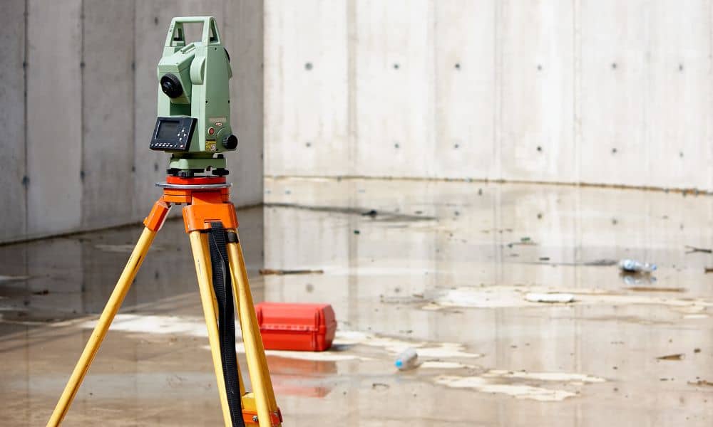
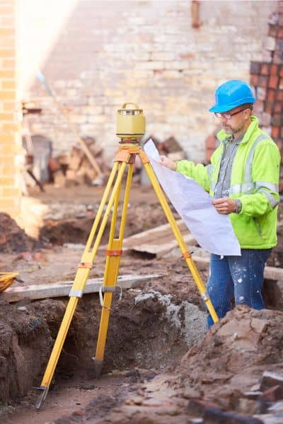
That’s where an elevation certificate makes all the difference. It’s not based on an old map; it’s based on real measurements taken by a licensed surveyor using precise equipment. It gives you and your lender a clear, site-specific answer: is this property above or below the base flood elevation?
Checking the Real Data Yourself
Before you even order an elevation certificate, there are free tools that help you get a sense of your risk. Chattanooga has a public Flood Zone Map Viewer through ArcGIS. You can type in your address, turn on the flood zone layer, and see if your parcel touches any shaded area.
For extra context, compare it with the NOAA Tennessee River gauge at Chattanooga. It shows real-time river levels and how often the water rises near the flood stage. If you notice the numbers getting close to your area’s base flood elevation, that’s a red flag—your property could be more vulnerable than the map suggests.
These tools don’t replace an elevation certificate, but they help you spot warning signs before you commit to buying. Think of it as an early version of your due diligence: a way to question what the flood map says instead of taking it at face value.
How an Elevation Certificate Fills the Gaps

An elevation certificate provides detailed information that flood maps can’t. It records the exact height of your home’s lowest floor, garage, and surrounding ground compared to FEMA’s base flood elevation. With that, you can tell how your property truly stands against potential flooding.
For buyers, this step matters more than you might think. Once you close on a property, you inherit its flood risk—whether you knew about it or not. And because FEMA’s maps can take years to update, the only sure way to understand that risk today is with fresh elevation data.
Beyond just height numbers, a good surveyor will also note benchmark references and topography features that influence drainage. You’ll see how close nearby slopes or creeks come to your structure’s level. It’s detailed, personal, and accurate—unlike a color-coded zone that covers hundreds of properties.
What Chattanooga’s Recent Flooding Teaches Us
The October floods were a reminder that flood risk isn’t static. Stormwater systems designed decades ago weren’t built for today’s population or paved surfaces. More concrete means less absorption, faster runoff, and higher water levels during storms.
In Hamilton County, even small creeks like South Chickamauga Creek can rise fast after heavy rainfall. Water that used to spread into fields now rushes into driveways. That’s how “out-of-zone” floods happen—when conditions on the ground change faster than the maps can adapt.
If you’re buying a home near these waterways—or anywhere that slopes toward them—an elevation certificate can reveal risks that maps miss. It’s not just about compliance; it’s about confidence.
Before You Sign Anything
Buying a home is emotional. You picture the living room, not the drainage path. But skipping elevation verification can turn excitement into regret. It’s best to ask the seller if an elevation certificate already exists. If not, order one before closing.
A licensed surveyor can complete the process quickly. The results tell you if the property’s foundation is above the base flood elevation—or if design or insurance adjustments might be needed. That small step could prevent years of worry and unexpected costs.
And even if your lot sits outside FEMA’s official floodplain, you might still benefit. Many buyers have discovered through elevation certificates that their property sits just a few inches below safety levels. Knowing that before purchase allows you to plan smarter—whether that means adjusting grading, adding drainage, or negotiating price.
Why Waiting Isn’t Worth It
FEMA’s map updates take years. Chattanooga’s last major revision already trails behind current conditions. In the meantime, storms are getting stronger and more frequent. The safest choice is to rely on today’s verified data, not tomorrow’s promises.
An elevation certificate gives you that confidence now. It helps you see what the flood map can’t—and make informed choices before signing a contract.
In short, don’t let outdated lines decide your future. The map might say your home is safe, but only an elevation certificate can prove it.
Final Thought
Flood risk isn’t just a technical issue—it’s a personal one. For buyers, the land’s beauty often hides its complexity. Hills, creeks, and valleys make every lot unique. So before you buy, take the extra step to learn where your home truly stands.
Order an elevation certificate, check the real data, and make your decision with confidence. The rain will come again—but this time, you’ll be ready.


