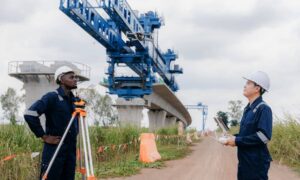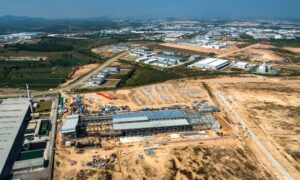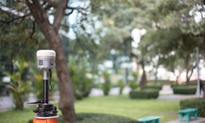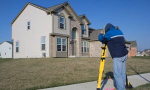
Chattanooga, Tennessee, once known for its factories and railroads, is now becoming a center for technology and transportation. A big reason for this change is the use of LiDAR mapping. LiDAR, is helping the city improve planning, public services, and building projects. It is also bringing new businesses and creating jobs.
Why Chattanooga is Becoming a Tech Hub
Growing Tech and Business Opportunities
In the past twenty years, Chattanooga has made huge improvements, including building one of the fastest internet networks in the world. This made it a great place for transportation research, tech companies, and startups.
The Need for Better Mapping
As more people move to Chattanooga, new problems like traffic jams, flooding, and land development have appeared. LiDAR gives city leaders accurate maps and data to plan smarter solutions.
How It Helps Cities
Cities use LiDAR to:
- Find weak spots in roads, bridges, and drainage systems early.
- Prepare for floods and natural disasters.
- Plan and fix public works projects with fewer mistakes.
Good LiDAR data helps cities grow smarter and save money.
How LiDAR Helps Chattanooga’s Economy
1. More Jobs in Technology
LiDAR projects need trained workers to collect, study, and use the data. Colleges in Chattanooga now offer classes that train students for these jobs in technology and engineering.
2. Bringing New Companies to Town
Because of fast internet and great mapping data, many tech startups are moving to Chattanooga. These companies work on traffic systems, delivery services, and even self-driving cars.
3. Building Better City Projects
City planners use LiDAR to design better roads, parks, and water systems. This saves money and makes sure projects are done right the first time.
LiDAR’s Role in Transportation

1. Fixing Traffic Problems
City workers use LiDAR to:
- Study traffic patterns.
- Improve traffic light timing.
- Make busy roads less crowded.
- Helping Self-Driving Cars
Chattanooga is a testing site for self-driving cars. These cars use LiDAR to “see” the road, making travel safer and more efficient.
2. Improving Railroads and Freight
Chattanooga still depends on trains. LiDAR helps check railroad tracks and bridges for repairs, keeping freight moving safely.
Working Together: Schools, Governments, and Businesses
1. University Research
The University of Tennessee at Chattanooga leads research on new ways to use LiDAR. Students and professors work on real projects that help the city.
2. Government Support
Local and state governments pay for many LiDAR projects using grants. These projects help with flood control, road planning, and making the city stronger.
3. Private Businesses Growing
Small startups and large tech companies are opening offices in Chattanooga to use LiDAR for smart city projects.
Protecting the Environment and Planning for the Future
Getting Ready for Natural Disasters
LiDAR helps cities:
- Find flood-prone areas.
- Make better emergency plans.
- Keep people safer during disasters.
Smarter Land Use
Planners use LiDAR to make smart decisions about where to build and where to protect green spaces. This supports healthy growth for the city.
Chattanooga Leads in Smart Mapping
- Winning Awards. Chattanooga has won awards for using smart technology like LiDAR to plan the city.
- Staying Ahead of Other Cities. By using LiDAR early, Chattanooga stays ahead of nearby cities and keeps attracting new investments.
FAQs
1. How Does LiDAR Mapping Help Create Jobs?
LiDAR projects create new jobs for people who work with data, drones, and engineering.
2. Can Small Businesses Benefit from LiDAR Data?
Yes! Builders, real estate agents, and designers use LiDAR data to plan better projects.
3. Which Industries Use LiDAR the Most?
Transportation, utilities, farming, construction, and environmental groups all use LiDAR.
4. Are LiDAR Projects Paid for by Taxpayers?
Many LiDAR projects are paid for with government grants or special programs, not just taxpayer money.
