land surveying
Do Storms Demand a Drone Survey Now?
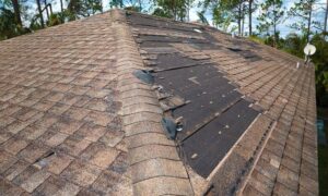
When massive storms hit Clarksville, the damage shocks everyone. Fallen trees crush fences. Roof shingles scatter across the yard. Water pools where the ground dips.

When massive storms hit Clarksville, the damage shocks everyone. Fallen trees crush fences. Roof shingles scatter across the yard. Water pools where the ground dips.

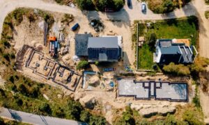
Nashville’s skyline is changing fast — and drone surveying is one of the key tools behind it. As cranes rise and roads shift, survey teams

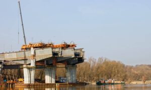
The Tennessee River in Chattanooga is getting bigger. The city has started a river expansion project to help prevent flooding and make the waterfront safer