If you own property or plan to buy land, you’ve probably heard about the recent clash involving a boundary line survey gone wrong. This issue has caused quite a stir among local homeowners, leaving many confused and frustrated. But what exactly is a boundary line survey, and why do mistakes in it cause so much trouble?
What Is a Boundary Line Survey?
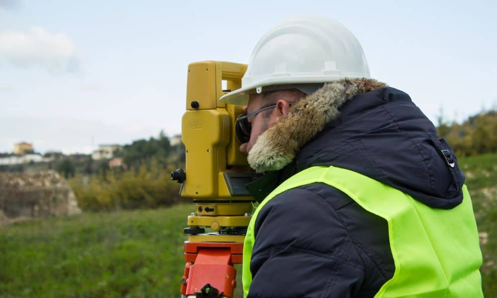
A boundary line survey is a detailed check that marks the exact edges of a property. Imagine it as drawing a clear, invisible fence around your land, showing where your property ends and your neighbor’s begins. Surveyors use special tools to measure and map these lines carefully. This kind of survey is important when buying, selling, or building on land to avoid disputes over who owns what.
When a boundary line survey is done right, everyone knows their limits, and there are no surprises. But when it’s done wrong, problems quickly arise.
The Nashville Incident: What Went Wrong?
Recently, a land surveying firm made errors in a boundary line survey for a local subdivision. These mistakes led to confusion about property lines. Homeowners found themselves arguing with neighbors, unsure exactly where their land started or ended. Some even had to delay home improvements or construction because the boundaries weren’t clear.
This mess didn’t just upset homeowners—it also caught the attention of the Tennessee Board of Architectural and Engineering Examiners. The board is now investigating whether the survey firm followed the rules and did its job properly.
This situation highlights something important: the quality of a boundary line survey can affect many parts of a community, from neighbors’ relationships to local construction projects.
Why Do Boundary Line Survey Errors Happen?
Survey errors are not always easy to spot. Sometimes, they happen because:
- Old or incorrect records: Surveyors rely on maps and documents from the past, which might not always be up-to-date or accurate.
- Poor tools or techniques: If surveyors don’t use the right equipment or fail to follow best practices, measurements can be off.
- Human mistakes: Surveying is a precise job, but people can make errors when reading data or marking boundaries.
- Challenging land: Thick trees, uneven ground, or limited access can make surveying tough.
In the Nashville case, some of these factors may have played a role. However, licensed surveyors are trained to handle such challenges carefully to prevent errors.
The Real Impact on Homeowners and Developers

Boundary line mistakes are more than just a technical issue—they affect real lives. When property lines are unclear, neighbors may argue over fences, gardens, or driveways. Sometimes, disputes end up in court, costing time and money for everyone involved.
For developers and builders, unclear boundaries can delay projects or cause costly redesigns. Construction might stop altogether until the property lines are confirmed. That means more frustration and financial strain.
Homeowners may also face challenges selling their property if boundaries aren’t clearly defined. Potential buyers want confidence in what they’re purchasing.
How to Avoid These Problems: Choosing the Right Surveyor
So, how can you protect yourself from boundary line survey errors?
First, always hire a licensed land surveyor. Licensing means the surveyor has met state standards and is accountable for their work.
Second, ask about the surveyor’s experience. Local knowledge helps because surveyors understand specific challenges and regulations.
Third, check if the surveyor uses modern tools and technology. Today, many use GPS and drones for precise measurements.
Finally, don’t be afraid to ask for references or examples of past work. A trustworthy surveyor will be happy to share.
The Role of Tennessee’s Regulatory Board
The Tennessee Board of Architectural and Engineering Examiners oversees land surveyors in the state. They ensure surveyors follow professional and ethical standards. If something goes wrong, like in the recent Nashville case, the board investigates complaints and can take action against surveyors who violate rules.
Homeowners should know that if they suspect a survey error, they can report it to the board for review.
What This Means for Residents
The recent clash over boundary line surveys is a warning for all homeowners and developers. It shows the importance of clear, accurate surveys in protecting property rights and avoiding costly conflicts.
When you’re buying land, building a home, or making changes to your property, don’t skip the step of getting a professional boundary line survey. Make sure it’s done right the first time to save yourself headaches later.
Conclusion:
A boundary line survey might seem like a small detail, but it has big consequences. Mistakes in these surveys can lead to disputes, delays, and legal battles that no one wants.
By understanding what boundary line surveys are and why accuracy matters, homeowners can make smarter decisions. Always choose a licensed, experienced surveyor. Do your homework, ask questions, and keep your property boundaries clearly defined.
Your land is one of your biggest investments—treat it with care and respect.


